The National Building Code of Canada (NBCC) sets clear requirements for slope stability assessment, and in Markham, the geotechnical reality of the Ontario glacial stratigraphy makes this analysis indispensable. The city sits on a complex sequence of Halton Till overlying stratified deposits, with the Rouge River and its tributaries carving deep valleys that create natural and engineered slopes of significant height. A proper stability analysis goes beyond simple factor of safety calculations; it must account for the stiff, overconsolidated nature of the local till, which tends to develop tension cracks at the crest during dry summers, a phenomenon well documented in the Duffins Creek watershed just east of Markham. For engineered cuts deeper than 3 meters, the Ontario Building Code triggers the requirement for a geotechnical review that integrates site-specific groundwater monitoring, as perched water tables within the upper weathered zone of the till are common across the 43.8°N latitude of the city. When borehole data reveals sensitive layers, our team often combines the analysis with a triaxial shear test to define the effective stress parameters with the precision required by limit equilibrium models.
The stiff Halton Till in Markham exhibits high peak strength but is vulnerable to progressive failure along pre-existing fissures when excavations are left unsupported through a freeze-thaw cycle.
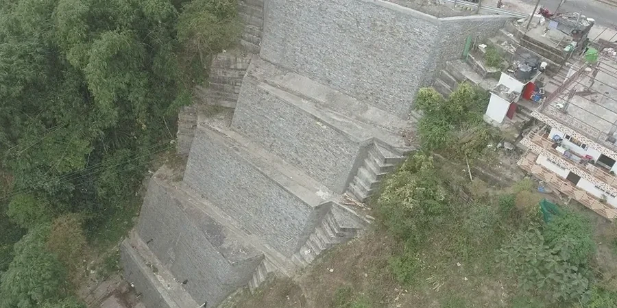
Local ground factors
A recurring mistake in Markham's residential subdivisions involves cutting a near-vertical face in the Halton Till during the dry month of August, assuming it will stand unsupported indefinitely. The till's matrix suction provides a temporary apparent cohesion that masks the true long-term stability condition. When autumn rains arrive, the suction dissipates, the tension cracks fill with water, and the face can fail along a planar wedge, sometimes taking the rear yard of a property with it. This mode of failure, driven by hydrostatic pressure in the crack, is often overlooked in preliminary assessments. The risk is amplified on north-facing slopes along the Rouge River, where the frost penetrates deeper and the spring melt saturates the upper 1.2 meters of the soil profile. Ignoring the role of retaining walls at the toe of these slopes, or failing to specify an adequate drainage system behind them, leads to maintenance issues and, in the worst cases, a global stability failure that threatens infrastructure above.
Frequently asked questions
What is the typical cost of a slope stability analysis for a property in Markham?
The fee for a site-specific analysis in Markham generally ranges from CA$1,920 to CA$5,320, depending on the slope height, the number of boreholes required, and whether piezometer monitoring over a seasonal cycle is needed. A simple assessment for a shallow cut may fall toward the lower end, while a deep excavation near the Rouge Valley with instrumentation will be at the higher end of the range.
Does the Toronto and Region Conservation Authority (TRCA) require a stability report for properties near the Rouge River?
Yes, the TRCA enforces strict regulations within the Rouge River watershed. Any development, grading, or construction within the regulated area, which often extends beyond the top-of-bank, requires a geotechnical report that demonstrates long-term slope stability and addresses erosion potential under the 100-year storm event.
What is the difference between short-term and long-term stability in Markham's clay soils?
Short-term (undrained) stability governs during and immediately after excavation, relying on the undrained shear strength (Su) of the Halton Till. Long-term (drained) stability controls the permanent condition, using effective stress parameters (c' and phi'), and is typically the most critical case for slopes in Markham due to the dissipating negative pore pressures over time.
How deep do the boreholes need to be for a meaningful slope stability model?
Boreholes should extend at least 1.5 times the slope height below the toe, or deep enough to penetrate any soft underlying stratum. For a 6-meter-high slope in Markham, this typically means a borehole depth of 9 to 12 meters, ensuring the potential failure surface that passes through the toe is fully investigated within the competent till.